
Methodology
How do we work?
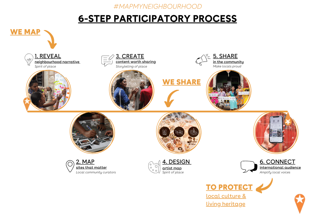
6-step mapping method
Tailored for fast-gentrifying neighbourhoods where heritage is at risk, the iDiscover methodology has been tried and tested in over 50 historic districts across Southeast Asia and has demonstrated effectiveness in making locals proud, increasing awareness, amplifying local voices and keeping the soul of a city alive.
1. REVEAL . NEIGHBOURHOOD NARRATIVE
find the spirit of place
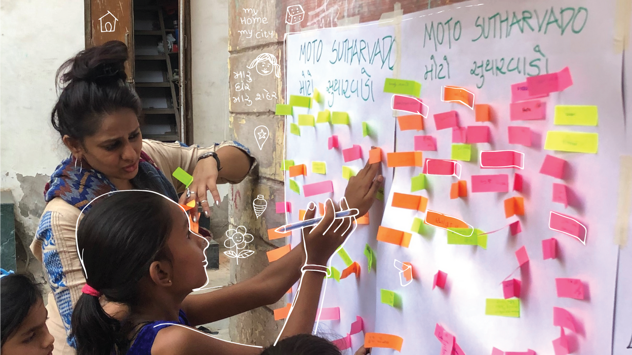
- Determine physical boundary - to decide on the scale and scope of mapping
- Introduce the neighbourhood timeline - to put local events and key landmarks into perspective
- Establish a baseline of the mapper’s relationship to the neighbourhood
- Articulate the neighbourhood narrative and find the ‘spirit of place’
2. MAP . SITES THAT MATTER
through the lens of locals
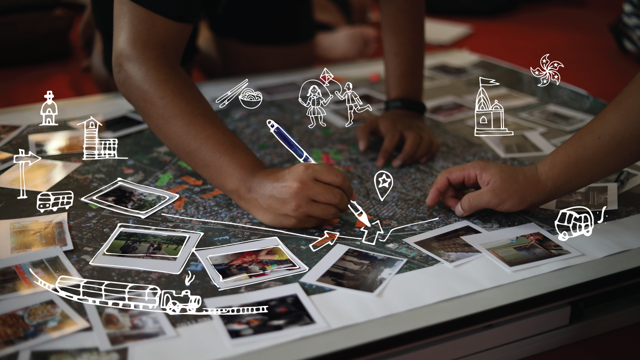
- Identify places that make a neighbourhood unique from a community perspective
- Find local’s favourite places to see, eat, drink, shop, play and pray
- Understand the difference in cultural preferences and perceptions among different demographics
- Reflect on different perceptions of place identity
3. DISCOVER . STORIES OF PLACE
create content worth sharing
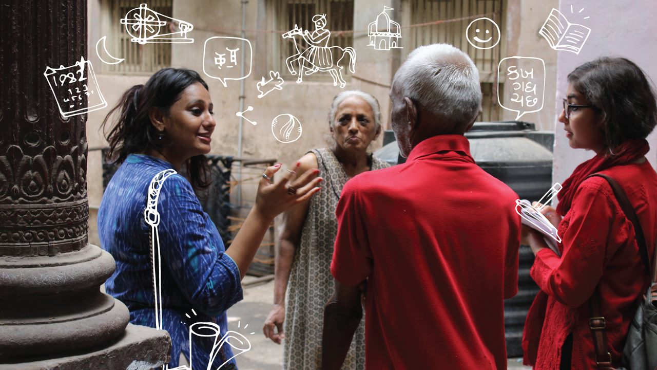
- Analyse the multiple layers and narratives of a place
- Turn local stories and perspectives into content that is worth sharing
- Create themed walking or cycling itineraries that provide an insider’s perspective to a neighbourhood
4. DESIGN . ILLUSTRATED MAP
artistic ode to the neighbourhood
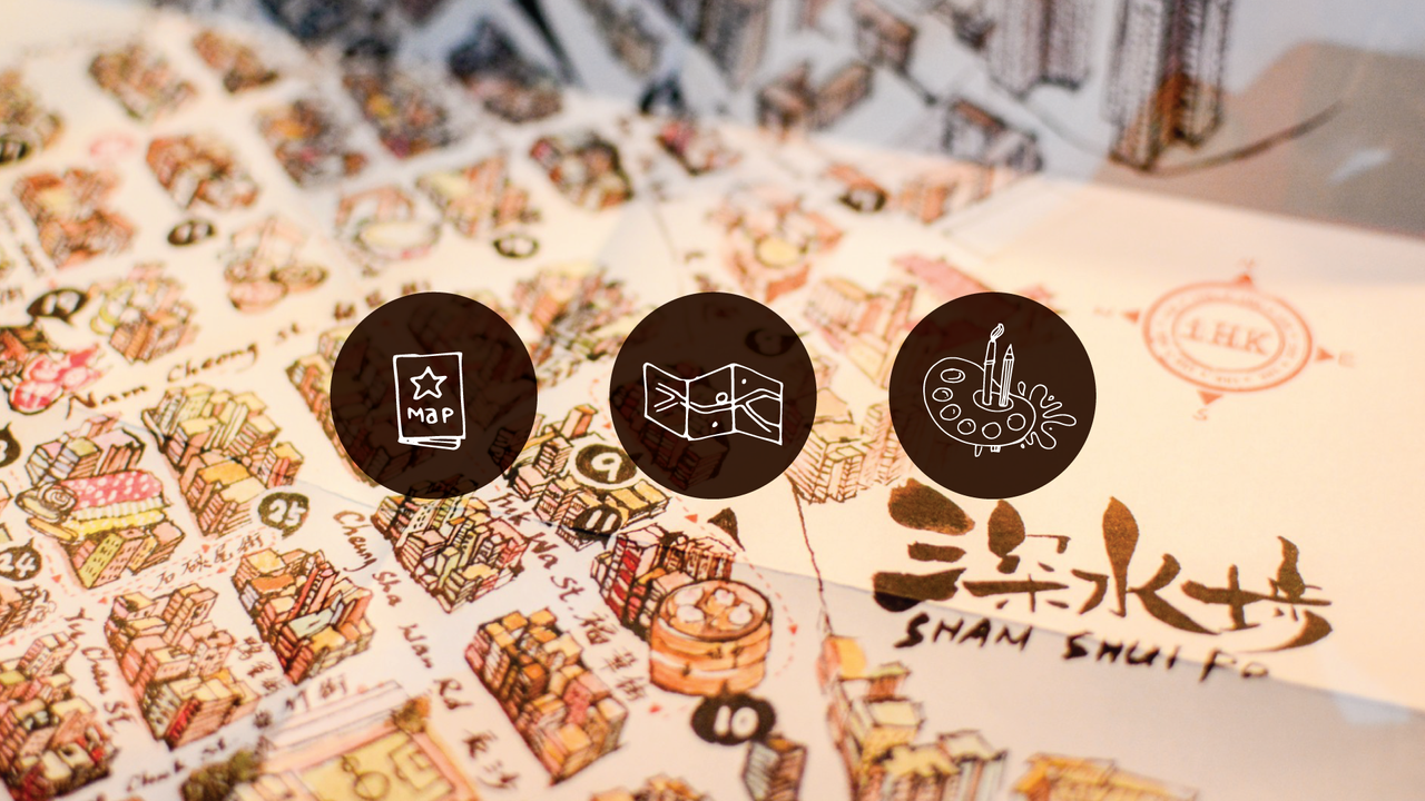
- Portray the character of place and neighbourhood narrative in an illustrated map
- Highlight the uniqueness of local’s favourite places in the form of hand-drawn illustrations
5. SHARE . IN THE COMMUNITY
make locals proud
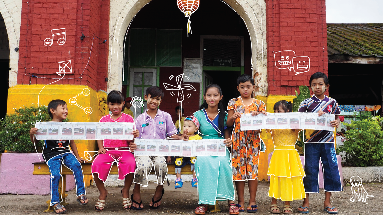
- Bring the stories back to the community and make them feel proud of their place
- Give visitors an insight into the creative process of discovery
- Communicate the value of the uniqueness of place with city makers planners, pacemakers and developers
6. CONNECT . TO A WORLD OF URBAN EXPLORERS
amplify local voices
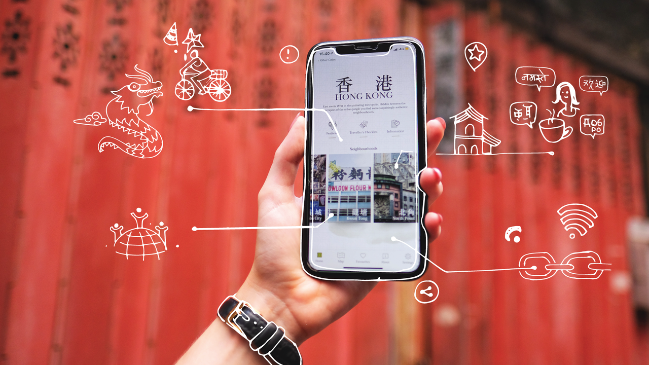
- Publish and share content with online community of nearly half a million people
- Communicate with an audience of digitally connected young Asian travelers and locals in Southeast Asia’s major cities
- Inspire them to follow the community’s footsteps, create their own journey and keep heritage alive
Find some examples of recent mapping projects here ->
Placemaking is storytelling.
Cross-disciplinary approach
The iDiscover mapping process provides a bottom-up approach that infuses traditional participatory planning techniques with innovative elements from different disciplines: cultural mapping, creative storytelling and digital analytics.
1.* Cultural Mapping

Cultural mapping has become a popular tool for identifying a community’s strengths, resources, common identity and shared values. In many cities around the world, it has become a defining feature of a municipal planning process, used to further develop and leverage cultural assets for economic and social benefits. Now, it is even recognised by UNESCO as a useful technique in preserving the world’s intangible and tangible cultural heritage and ‘making the invisible visible’.
2.* Creative Storytelling

Storytelling speaks to the imagination, it quickly exposes how different groups have different perceptions and layers of place. This makes it a powerful tool for identifying commonalities and potential conflicts in an urban community. Collective stories form the foundation for shared values while personal narratives help to put pieces of social history together and also reveal assets in the community - including skills, associations and cultural resources that can be mobilised for future development. Storytelling can also contribute to creating a collective sense of place.
3.* Digital Analytics

Digital tools offer an unprecedented opportunity to tap directly into residents’ knowledge about their environment and invite civil society to find solutions to urban problems. From comprehensive purpose-built mapping systems where residents can tag their mood in specific places, share stories, file complaints, or provide ideas for better use of space to more affordable open-source systems. This opens up innovative avenues for unlocking collective intelligence and making the voices of 'anonymous' people visible.
We have merged the best of the three different disciplines to design an affordable and collaborative digital mapping and storytelling method. We start the process with solicited (subjective) citizen input to build baseline data sets, to which we add personal narratives to construct a multifaceted story of a place with a digital and a physical presence.